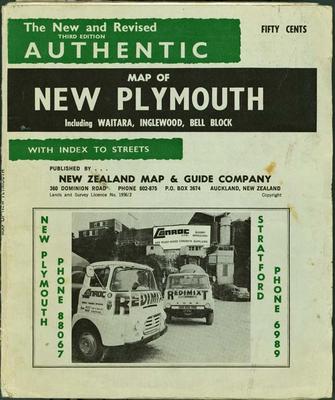
The new and revised authentic map of New Plymouth, including Waitara, Inglewood, Bell Block, with index to streets
Production date
1970
1975
Description
A folded street map of New Plymouth, including Waitara, Inglewood, Bell Block, with index to streets. Includes advertising.
New Zealand Map & Guide Company, [1970]
4th ed. 1975
See full details
Object detail
1975
Part 1
3rd ed. New Zealand Map & Guide Company, [1970]
Part 2
4th ed. New Zealand Map & Guide Company, 1975

Public comments
Be the first to comment on this object record.